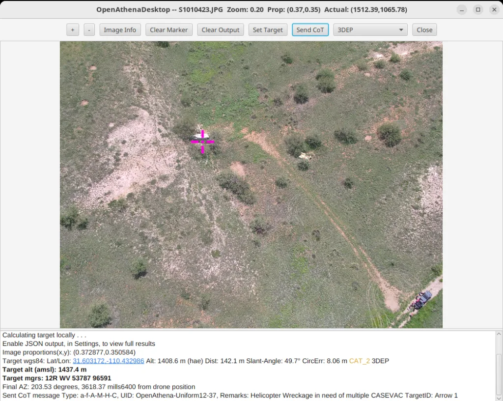
The OpenAthena™ Core software library from Theta Informatics LLC is designed for easy integration of OpenAthena’s novel terrain-raycast remote sensing technique onboard OEM’s own drone and ground control station hardware products.
The software provides UAS (drone) platforms with instant and precise geo-spatial remote sensing capabilities using just the cameras, compute, and sensor hardware that most drones already have onboard. It features a novel terrain-raycast technique for instant geolocation of any ground object observed by a drone’s camera.
OpenAthena Core removes the need for expensive laser-rangefinder (LRF) hardware onboard drones, replacing them with a software-only passive ranging technique compatible with any commodity color or IR camera. OpenAthena’s unique terrain-raycast algorithm combines digital elevation model (DEM) terrain data with drone camera position, orientation, and optics modeling data to instantly obtain the ground coordinates for any single pixel from a single drone image frame.
OpenAthena Core is ideal for enhancing the capabilities of affordable and attritable drone hardware for time-sensitive situational awareness use cases including search and rescue, law enforcement, fire and emergency response, public safety, disaster recovery, environmental monitoring, and defense.
By removing the need for a laser rangefinder onboard drones to range and geolocate ground objects, it significantly reduces sensor payload SWAP and cost, with savings of at least $20,000 per device while retaining the same instantaneous geo-pointing capabilities. Unlike laser-rangefinder (LRF) hardware, it can instantly geolocate objects anywhere within the camera frame, not just its center field of vision (CFOV). This eliminates the need for slew-to-que of a LRF onto each ground object of interest and allows multiple ground objects to be tracked simultaneously. Compared to existing photogrammetry (image-stitching) software, it provides results at least 20-30 minutes faster.
OpenAthena Core is a portable Java software library which provides a simple http RESTful API interface for drone platforms and software to send location calculation requests and receive ground coordinate results. It can also be configured to automatically output location data to situational awareness platforms such as Android Team Awareness Kit (ATAK) used by many military, law enforcement, and public-safety / search and rescue end users.
Theta Informatics has significant experience performing on-site engineering support, testing, and validation services for a variety of drone manufacturers and special projects. Integration onto a new UAS platform can take as little as two days. In past engagements, Theta has successfully integrated OpenAthena Core with a variety of drone platforms and software stacks using frameworks such as Mavlink/Mavproxy, ROS2, and PX4 or ArduPilot as well as integration with custom object detection AI/ATR models.
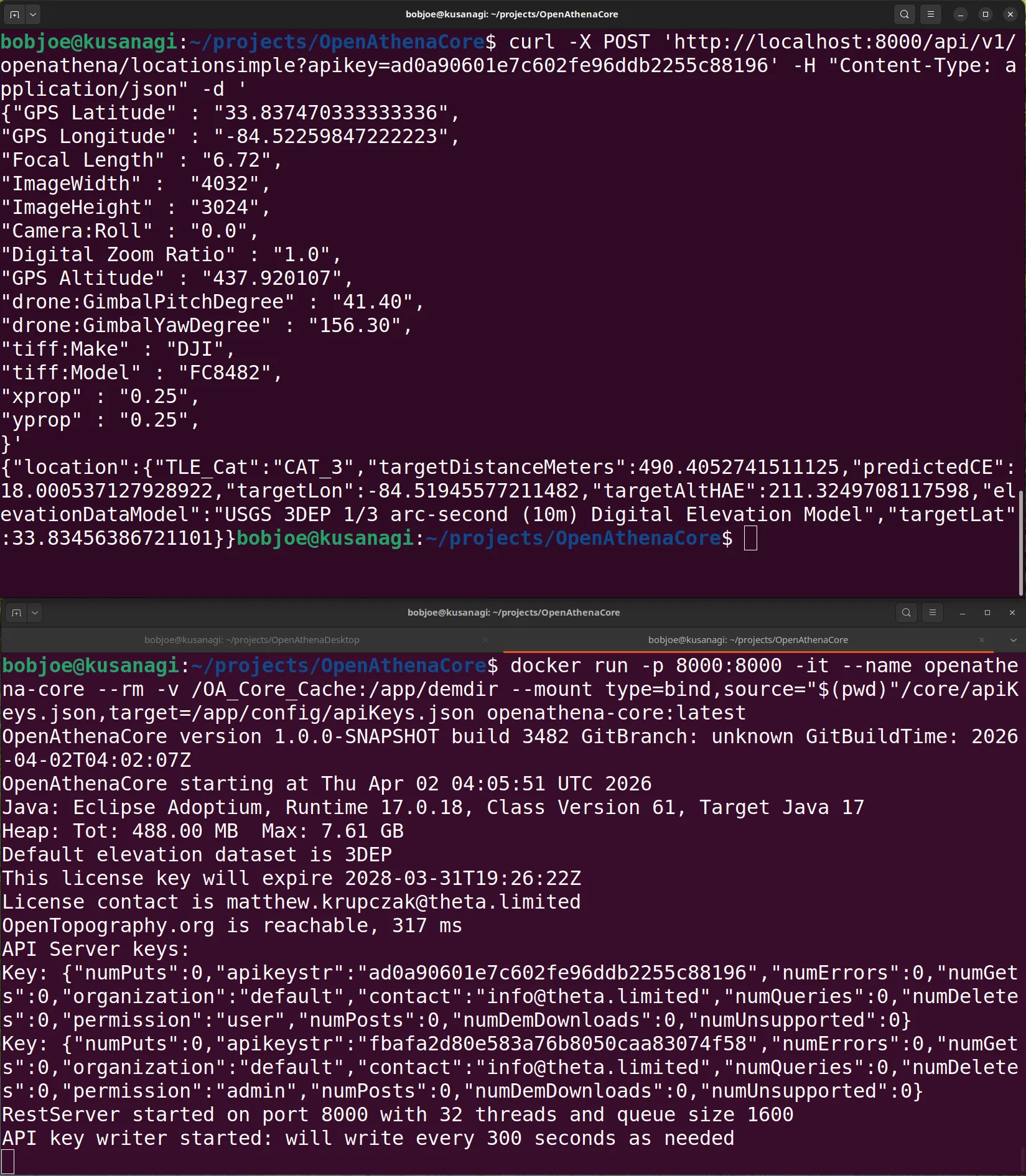
OpenAthena Core RESTful API Demo:
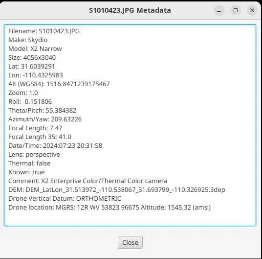
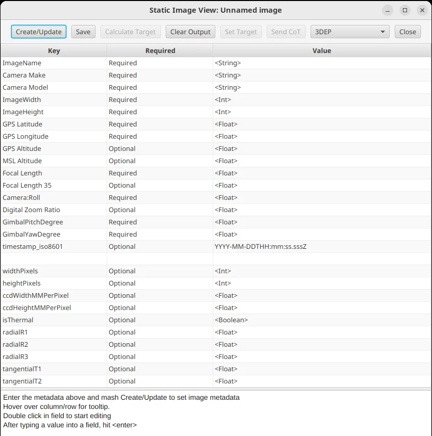
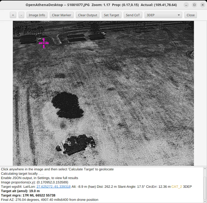
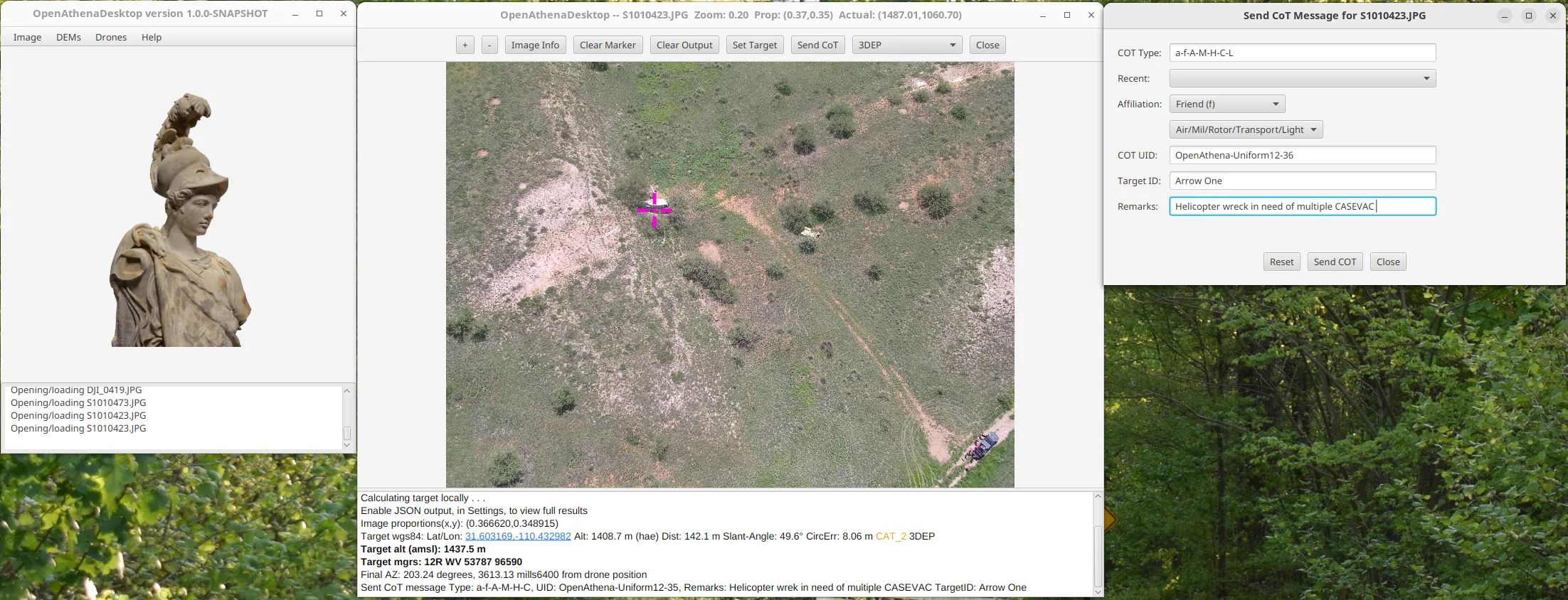
OpenAthena Desktop (GUI frontend for Core) Demo:
OpenAthena Core features:
- Instant (< 8 ms) calculation of target coordinates without needing a laser-rangefinder
- Ability to locate targets from any off-center pixel within a drone camera’s visual field
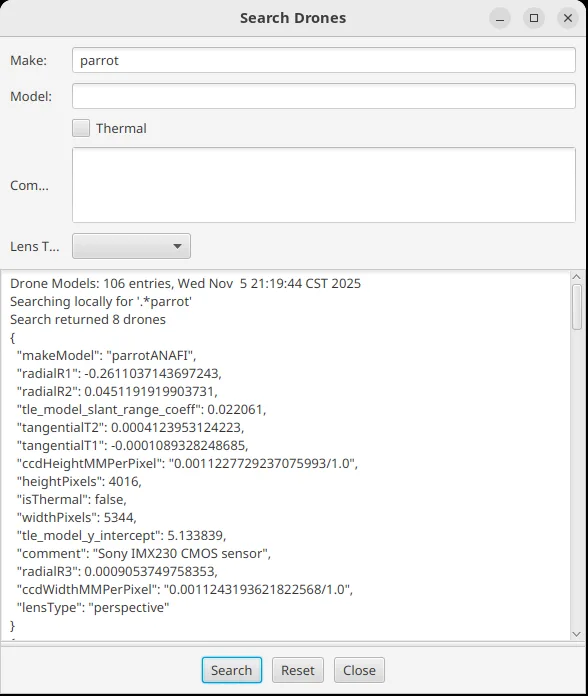
- Out-of-the-box compatibility with a wide range of off-the-shelf drone camera makes and models (and extensible for many more)
- Simple calibration procedure available for any camera model
- Can operate entirely offline at the edge onboard a drone or ground control station. Total system footprint of less than 1 CPU core and 450 MB of RAM
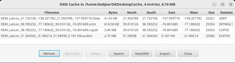
- Can automatically download terrain-data while an internet connection is present. Automatically manages and selects terrain data files when operating offline
- Bulk terrain data download feature allows large areas to be downloaded for later use offline. Terrain data files only require between 5-35 KB of storage per km^2 of operating area.
- Automatic conversion between multiple coordinate reference systems to combine drone telemetry with high resolution terrain data from specialized datasets
- Fully NDAA compliant; developed fully in the USA by U.S. Persons. Theta Informatics LLC is 100% owned, operated, and staffed within the US.
- Supports military DTED Digital Elevation Model (DEM) in addition to civilian GeoTIFF file format for terrain data
- Supports specialized digital terrain model (DTM) datasets which model bare terrain in the absence of trees or buildings for enhanced targeting accuracy.
- Automatic selection of best DTM dataset for the operating area including native support for USGS 3DEP, EU_DTM, and GEDTM. Additional dataset types (including DSM data such as SRTM, DTED, or COP30) can also be selected manually
- Optional MARITIME calculation mode automatically transitions from using DEM data (while over land or near shore) to just mean sea level as the raycast intersection plane (when operating far from shore).
- Cursor on Target (CoT) output to local or remote systems running Team Awareness Kit (TAK) software; and
- Encrypted CoT communications over TCP/SSL, as well as UDP multicast and TCP unicast networking options.
- Complete Software Bill of Materials (SBOM) created fully from source code with no 3rd-party binary blobs. Ensures the security and integrity of the software and facilitates easy approval for interim approval to test (IATT) and Rapid ATO
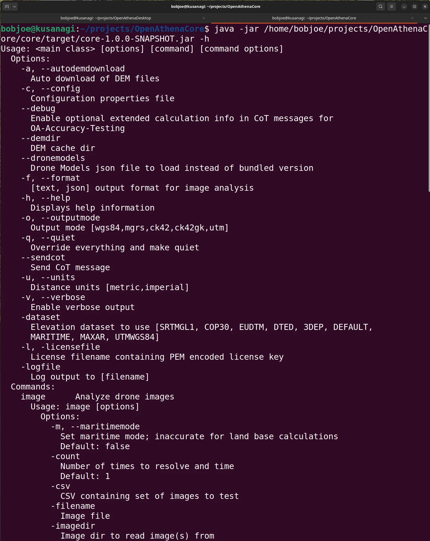
OpenAthena Core is available either as a cloud API at https://api.openathena.com or an offline-capable local software module. Both versions use the same RESTful API interface, supporting simple and rapid development and easy transition for drone OEM’s from the online API to a self-sufficient offline solution. It also features a command line interface and Java bindings for seamless integration with your existing software:
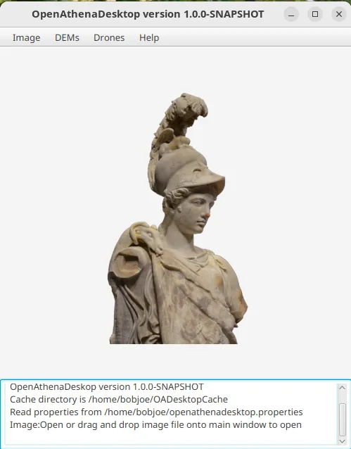
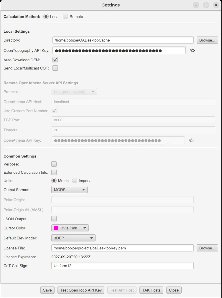
Additionally: purchasers of OpenAthena Core are provided a free copy of OpenAthena Desktop. This is Theta Informatics’ fully-featured graphical Desktop application which demonstrates the full functionality of OpenAthena Core and provides tools for its administration.
OpenAthena Desktop‘s source code is provided to purchasers of OpenAthena Core under a source-available license, providing an example implementation of the OpenAthena Core API for your developers to get up to speed with quickly.
Contact us at sales@theta.limited or checkout using the link below to get started with OpenAthena Core. Free API keys and limited evaluation software licenses can also made available by Theta before purchase.
The price quoted below is for the U.S. domestic market; discounts are available for international sales and high-volume licensing.
Notices
Order Fulfillment
Final delivery of OpenAthena Core is contingent upon your provision of additional information to Theta, Theta’s ITAR/EAR compliance review, and your execution of Theta’s OEM Software License Agreement. Uncompleted sales will be refunded by Theta.
One license covers one computer at a time unless the Order states otherwise.
Typical Accuracy and Known Limitations
For the single image, single pixel raycast technique used by OpenAthena Core, without use of Theta’s additional software client for multi-sampling:
Most drone models have a starting GPS error of about 5.25 meters (unless an RTK module is onboard which can bring starting error down to < 1 meter). Slant range from drone to target is the next most significant factor influencing the amount of of target location error. On most drone models, each additional 1 meter of range from drone-to-target adds between 0.025-0.035 meters of target location error due to inherent inaccuracy in the drone camera’s reported orientation. The exact error rate is unique to each drone model. This level of accuracy is sufficient for most situational awareness, asset monitoring, and intelligence, surveillance, and reconnaissance use cases, however results will not be precise enough for certain applications such as most construction surveying.
You must calibrate your drone’s magnetometer (compass) sensor within 300km of your area of operations while away from sources of magnetic interference such as steel and metallic objects, otherwise results from OpenAthena will be more inaccurate.
OpenAthena’s performance degrades at shallow slant angles when the line from drone-to-target is close to parallel with the ground. Location results may be unpredictable at drone-to-target slant angles of 15 degrees or less.
The terrain models used by OpenAthena Desktop outside of the U.S. and Western Europe contain errors in urban areas with tall buildings such as skyscrapers. These terrain model errors may cause OpenAthena’s terrain-raycast to terminate significantly early (short of target) in urban areas outside of the U.S. and Western Europe.
All location results from OpenAthena Desktop should be treated as estimates only and must be validated before use in situations critical to life or property. The Software is not a certified flight-control, navigation, safety-of-life, fire-control, autonomous-targeting, or fail-safe system and must not be the sole basis for flight decisions, emergency-response decisions, a use-of-force decision, weapons release, or any decision that could foreseeably cause death, bodily injury, or significant property or environmental damage.
U.S. Government Purchasers
If the Purchaser is an agency or instrumentality of the U.S. Government, Theta’s OEM Software License Agreement for OpenAthena Core applies only to the extent consistent with federal law and its terms do not require the Government to act beyond its legal authority.
These notices supplement but do not replace similar notices within the OEM Software License Agreement.
Additional Screenshots (OpenAthena Desktop):